

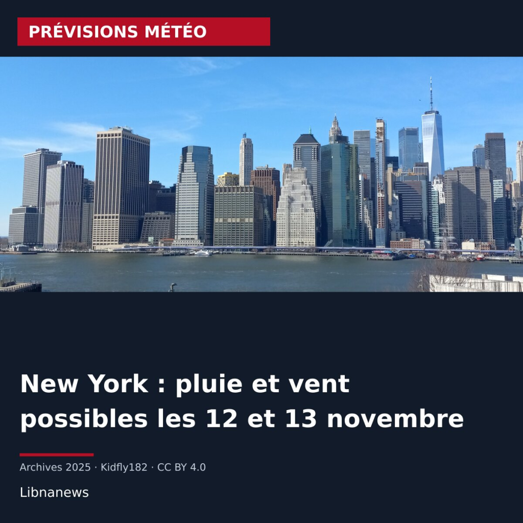
The weather in New York may deteriorate on Thursday 12 and Friday 13 November 2026. The official forecasts available on 9 November favor rain and gusts. They don’t confirm a snowstorm in the city. Possible wet snow mainly concerns the reliefs far from the coast, with low confidence.
The regional bulletin issued on 9 November at 10:01 a.m. New York time, at 3:01 p.m. UTC, describes two possible developments. A depression must come out of the Ohio Valley before reaching the Atlantic facade. Its intensification and trajectory remain uncertain.
Weather in New York: rain dominates forecast
The local forecast for Manhattan, updated on November 9 at 9:20 a.m., predicts a 50% rain risk on Thursday afternoon. This probability rises to 80% on the night from Thursday to Friday. It reaches 70% on Friday, mainly before the beginning of the afternoon.
Forecast temperatures remain positive. Maximum approaching 16°C Thursday, then 11°C Friday. The minimum night from Thursday to Friday is around 8 °C. These values relate to New York and do not describe the conditions of mountain areas further inside.
The days of Tuesday 10 and Wednesday 11 November are expected to remain largely dry. The city maximums are around 16°C. The expected change therefore focuses on the second part of the week.
Two scenarios for the weekend
In the first scenario, the disturbance crosses the region quite quickly. It brings low rain between Thursday and Friday morning. The depression then deepens away at sea, which would allow an improvement at the beginning of the weekend.
In the second, the system slows down and reorganizes near the coast south of Long Island. The rains could resume Friday at the end of the day, extend during the night and overflow on Saturday morning. The regional bulletin points out that the models still differ on this development.
The position of the depression will also condition the winds. Ramps are possible near the coast, then more widely at the start of the system. The data examined in the November 9 bulletin do not suggest, at this stage, terrestrial winds reaching the thresholds of a specific opinion. Closer intensification of the coast could, however, alter this assessment.
Snow remains a hypothesis limited to interior reliefs
A mixture of rain and wet snow may appear on the remote heights of the coast, on the night of Friday 13 to Saturday 14 November. This possibility depends on the arrival of colder air at the back of the depression.
The bulletin attributes low confidence to this hypothesis, due to the lack of sufficient cold air near the ground. It also considers the snowy effects envisaged by the consensus of the models at this time to be negligible. These indications do not allow for the announcement of snow accumulation in Manhattan, nor do they qualify the episode as a confirmed winter storm for New York.
At sea, degradation could be more sensitive. The forecasts envisage a return of difficult conditions for small boats starting Thursday evening. A period of wind blows is possible on the ocean, depending on the development of depression. Future bulletins will have to specify its trajectory, the duration of the rains and the intensity of the gusts.





Comments