

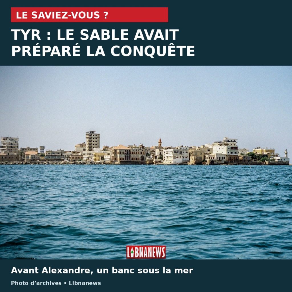
Did you know that?In Tyre, Alexander the Great did not build his carriageway above a uniformly deep seabed. A sand bank had already prepared the passage to the island. This natural relief facilitated the military construction of 332 B.C.E. The conquest then transformed the coastline sustainably.
The city of South Lebanon thus retains a surprise under its familiar geography. The land that now connects the ancient island to the continent results from a meeting between the movements of sand and human intervention. The landscape not only tells a seat: it also keeps track of an environment that engineers have managed to exploit.
In Tyre, a sand bank before the roadway
A geoarcheological study published in 2007 reconstructed the evolution of this bond from sediment. At the time of Alexander, the top of the bench was about one to two metres below sea level. The army therefore had shallow support for a long roadway of about one kilometre.
This bench was not yet a land passage. The distinction counts: the existence of an underwater relief did not erase the separation between the island and the coast, nor the difficulty of the yard. On the other hand, it changes the way its construction is understood. The builders did not create the whole base from nothing.
The sea had begun work
An island can alter wave propagation and shelter the waters behind it. In some configurations, sediment accumulates until it forms a link with the coast. Geographers call this form a tombolo. In Tyre, the configuration of the shoreline and the addition of materials facilitated this development before the conquest.
Research published in 2008 compared this mechanism with that of Alexandria. Both sites had shallow banks prior to Alexander’s development. In Tyre, the siege lasted seven months. The pavement then separated coastal waters into two sectors, changing their circulation and sediment accumulation.
It would therefore be misleading to imagine that the current wide strip of land is simply the ancient dam that remains intact. The work triggered a transformation of the coastal system. The sea continued to transport and deposit materials around this new barrier.
An ancient island under the modern city
This story helps to read the heritage of Tyre, which has been a World Heritage Site since 1984. The property comprises two distinct sets: the remains of the city on the promontory and the necropolis of El Bass, on the land. Their provision recalls a separation that the current geography makes less obvious.
The Roman and medieval ruins occupy the ancient island, while the monumental arch, the necropolis and the hippodrome belong to the continental sector. Between these two spaces, the terrestrial connection retains the imprint of a military operation of more than twenty-three centuries, supported by a sandbank already present under the waves.
References and photographic credit
- Nick Marriner, Christophe Morhange and Samuel Meulé, « Holocene morphogenesis of Alexander the Greats isthmus at Tyre in Lebanon », PNAS, 2007.
- Nick Marriner, Jean-Philippe Goiran and Christophe Morhange, « Alexander the Great.
- UNESCO, « Tyr ».
- Cover: photograph of Tyrus from the sea, © François el Bacha for Libnanews.com. Photo kept in full, with external graphic bands. It does not represent the ancient bench or a reconstitution of the seat.





Comments