

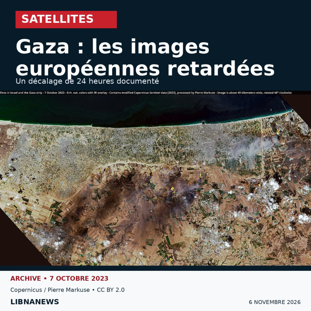
The European Commission confirmed on Thursday 5 November 2026 restrictions on the broadcasting of certain satellite images. This response comes after an investigation into the delays in Gaza and part of the West Bank. Brussels invokes the protection of European interests, without confirming the territories concerned.
In a reply to a news agency, an EU spokesman explained that these measures were intended to prevent possible threats. It stated that these procedures were not made public unless the Council decided otherwise. The reaction thus confirms the existence of restrictions, but does not detail their scope or timing.
Satellite images: a documented shift since March
The survey published on 29 October by Bellingcat focuses on the Sentinel-1 and Sentinel-2 missions of the European Copernicus programme. The collective compared capture and data availability times. It notes an additional period of approximately 24 hours for certain areas.
According to this analysis, images covering Gaza, part of the West Bank, Israel and the Eastern Mediterranean have been affected since 28 March 2026. Researchers also identify restrictions in the Red Sea, Gulf of Aden and Gulf of Oman. Their extent varies according to the mission observed.
To illustrate the consequences, the survey examines Hebron: the images of October 26 were not accessible simultaneously for both halves of the city. This delayed the verification of the destruction reported on site. This is a finding attributed to the investigation, not a recognition by Brussels of each map area.
What Copernicus data allow
The programme is based on data available free of charge to researchers, businesses and the general public. Sentinel-2 optics observe terrestrial surfaces in thirteen spectral bands. Four have a resolution of ten metres. Its applications include soil, vegetation, water and disaster monitoring.
Sentinel-1 uses radar. It allows day and night observations, including under clouds. Both missions therefore provide additional information. They do not produce a permanent video stream, and their images require an interpretation adapted to their resolution.
In an investigation of a conflict, it is necessary to distinguish between the time taken and the time taken for its publication. An image accessible today can describe a previous situation. The delay in broadcasting is thus added to the constraints of passing the satellite and, for optical observations, to those of the weather. It alone does not make it possible to conclude that a scene has been erased or altered.
A restriction on dissemination, not a disappearance of images
The file is about when the data becomes available. A delay limits the speed of an independent check, even when the image is finally accessible. This distinction is important for journalists who confront testimonies, videos and space observations.
A precedent was released in July for the Gulf of Oman at the request of the United States. The European text provided for a delay in dissemination for security reasons. It was subsequently withdrawn from the Official Journal. Asked about this episode and its withdrawal, the Commission did not comment on the news agency.
The November 5 response does not specify when the current restrictions will end. It also leaves the complete list of territories to which it applies without public confirmation.





Comments