

Finding remains in a desert does not always start with a trowel. In Saudi Arabia and the United Arab Emirates, university teams combine satellite images, radar and automatic learning to select areas to explore. Their work, published between 2022 and 2024, shows above all how to guide archaeologists, without replacing on-site verification.
In Saudi Arabia, learn to recognize stones
On 17 August 2022, KAUST University presented a programme on ancient structures in northwestern Saudi Arabia. These include mustatils, large rectangular stone assemblies, and circular or triangular structures.
The team included archaeologist Laurence Hapiot and computer vision specialists. The software learned from structures manually identified by the researcher and then looked for comparable forms in satellite images. The identified elements could be converted into coordinates and assembled into a map and database.
The method thus facilitates the inventory and study of the distribution of remains. It does not automatically give their function or their history: these questions remain the responsibility of the archaeological investigation.
In Dubai, look for clues under the sand
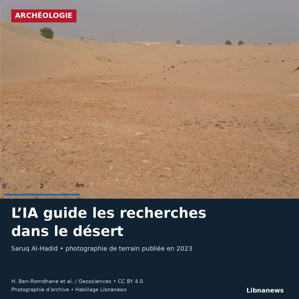
A study published in June 2023 takes Saruq Al-Hadid as its site in the Dubai desert. Researchers cross optical and radar images with data on ancient terrain, soils and flows. The model finds areas already searched and identifies other potentially interesting areas.
The authors stress the limitations of this first trial. The data do not all have the same resolution; dunes and surface materials can produce complex signals. Statistical similarity is therefore not sufficient to prove the presence of a buried building. Recent observations and field investigations are still needed to confirm predicted areas.
Radar does not dispense search
On 25 September 2024 Khalifa University announced an additional step: ground radar research had revealed a long structure buried in Saruq Al-Hadid, which could correspond to a wall or an old building. The establishment specified that archaeological excavations were still required to confirm the discovery.
Directed by Diana Francis, the work of the ENGEOS laboratory was also applied in Al-Ain, in cooperation with the cultural authorities of Abu Dhabi. The university reported ancient irrigation canals, graves and buried buildings.
The value of these tools is to reduce the extent of blind research. Satellites designate runways, geophysical measurements specify them and archaeologists establish their nature. Technology moves part of the work towards data analysis; it does not transform every anomaly detected into a confirmed discovery.





Comments