

The link between polar vortex and cold raises new questions in early November 2026. An unusual disturbance develops over the Arctic, but it does not allow a generalised cold wave to be announced. On 11 November, British weather services clearly distinguish this phenomenon from the expected cooling in the UK. Between the changes observed at altitude and the time felt on the ground, several mechanisms remain to be monitored.
British cooling has another origin
The explanation published on November 11 attributes the arrival of colder air to the displacement of high pressures. Their position in the west and northwest of the United Kingdom favours northerly winds. They bring Arctic air into the lower layers of the atmosphere. The gradual disappearance of low clouds also facilitates the fall of night temperatures.
At the same time, forecasters observed stratospheric warming and a weakening of the winds around the vortex. A brief reversal of their direction remains possible. However, the simulations mentioned also allow a return of the vortex to a more usual state as it approaches December. The phenomenon could therefore remain temporary. It does not constitute the automatic explanation of each announced frost.
An early forecast, not a definitive balance sheet
In France, a weather publication dated 2 November already described an unusual scenario for this period. The models envisaged a major disturbance in the upper atmosphere, between 10 and 50 kilometres of altitude. Climate reanalysis available since the 1950s did not show such an early precedent for this type of event.
This indication concerned a forecast and its potentially exceptional character. It does not alone prove that a major event was then produced according to all scientific criteria. Its date must remain visible when the information flows again.
The same bulletin pointed to still very uncertain consequences for France. In particular, the evolution could accentuate a contrast between a colder north of Europe and a milder south. It also distinguished the usual fall temperature decrease from the possible effects of vortex. An old ad therefore does not become a local forecast updated by its only recovery.
Polar and cold Vortex: two floors of the atmosphere
The stratospheric vortex is a wide circulation of winds around a cold air reservoir over the Arctic. It is much higher than the clouds that accompany most daily weather events. Its shape changes: it can stretch, move or divide.
The term may also refer to polar circulation in the troposphere. This second sense sometimes causes confusion. It concerns a system closer to daily time, distinct from the seasonal vortex in the stratosphere. A cold air incursion related to the movements of the lower circulation thus does not, by itself, show a major rupture in the upper layers. Identifying the mentioned atmospheric stage avoids mixing several phenomena.
Below, the jet stream contributes to the organization of disturbances and air masses. A robust vortex can promote more regular Atlantic circulation. When it weakens, the jet stream can become more sinuous and leave more room for anticyclonic blockages.
The position of these blockages makes the difference. High pressure in the north or northeast of the British Isles may favour continental winds. Instead, another configuration opens the way to northerly winds. The risk of snow still depends on humidity, precipitation and temperatures. Altitude changes in probability; it does not directly provide a snowfall map.
Why warming can help the cold
The term « sudden stratospheric warming » refers to a rapid rise in temperature at high altitude. It does not describe an immediate warming of the cities below. Atmospheric waves from the lower layers can disrupt the winds of the vortex. The air that descends into the stratosphere compresses and warms.
Scientists are monitoring wind circulation to characterize these episodes. By January 2024, two successive impulses had moved and then fragmented part of the vortex. A temporary reversal of the average winds to 30 kilometres of altitude then met the criterion of a major event.
This precedent explains the observation method, not the November 2026 scenario. Models had anticipated several features of the 2024 episode, but their agreement depended on the given maturity. Predicting stratospheric disturbance and its precise effects on the ground remain two different steps.
Effects may differ between Canada and Europe
The extent of the phenomenon does not mean that all countries have to wait for the same weather. A Canadian scientific synthesis published in 2026 points out that the weeks following certain stratospheric warmings may favour temperatures above normal in eastern Canada. The atmospheric configuration counts more than a general association between the word « polar » and freezing.
This synthesis also distinguishes stratospheric vortex from jet current, which is lower throughout the year. It recalls the high variability of the vortex from winter to winter and the differences between models regarding its future evolution. A signal spotted above the pole is therefore neither sufficient to predict the time of Montreal nor to announce a winter episode in Lebanon.
Long-term climate trends also require separate analysis. Global warming makes extremes cold less frequent and less intense on a large scale. It does not prohibit occasional cold episodes. On the other hand, a cool week does not make it possible to draw a conclusion on climate change.
Next steps
The exchanges between stratosphere and troposphere are of interest to meteorologists because they can improve forecasts beyond a few days. Satellite observations and models are used to track temperatures, winds and atmospheric structure. The difficulties include how several influences combine.
A polar event can change the weather context for several weeks. However, its effect depends on other circulations and their evolution. To understand the continuation, it will be necessary to monitor the persistence of the disturbance, its spread to the lower layers and the position of the high pressures. The national and regional bulletins will then specify the areas, dates and risks actually expected.
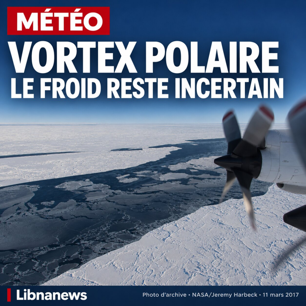
Photograph of the ice pack near Alaska, March 11, 2017. NASA/Jeremy Harbeck, Operation IceBridge. Editorial dress Libnanews. This image illustrates the Arctic, not the stratospheric vortex.





Comments